About the author · Aleksandr Annenkov
Between map and code
Geography, technology, and a habit of understanding how places, data, and systems work.
I am a geographer by training. I graduated from the Faculty of Geography at Perm State University and began my professional career in GIS, cartography, and urban planning. A map has therefore never been merely an image of a territory to me. It is a way to bring scattered facts into a system, see the relationships between objects, and understand why a place is organised the way it is.
This may be why the transition from geography to digital technology felt far more natural than it might appear. Spatial data and geographic information systems came first, followed by information modelling, data requirements, common data environments, and infrastructure digitalisation. Classifiers, machine-readable documents, ontologies, knowledge bases, digital twins, and artificial intelligence came later.
Technology names change quickly, sometimes faster than presentations about the previous technology can be updated. Yet the question behind them remains the same for me: how can we describe a complex real world so that its digital representation can be used meaningfully?
Geography teaches us to see the system behind an individual object. A river exists within a drainage basin; a city depends on its location, terrain, transport links, and history; a landscape results from many processes that unfolded at different times. Digital systems work in a similar way. A model, document, or dataset becomes genuinely useful only when its place, relationships, origin, and future use are understood.
This is where my professional interest in the digital transformation of infrastructure comes from. I am interested in how data becomes engineering knowledge, regulatory requirements become machine-readable, information models connect with real processes, and artificial intelligence receives enough structured context to become a useful tool rather than another impressive window with a Generate button.
Teaching is another important part of this story. Explaining information modelling, digital platforms, or data to students and colleagues quickly reveals weak points in one's own understanding. A good explanation is unforgiving of elegant but empty language. Perhaps that is why I like to take complex subjects apart until the terminology once again reveals how the system actually works.
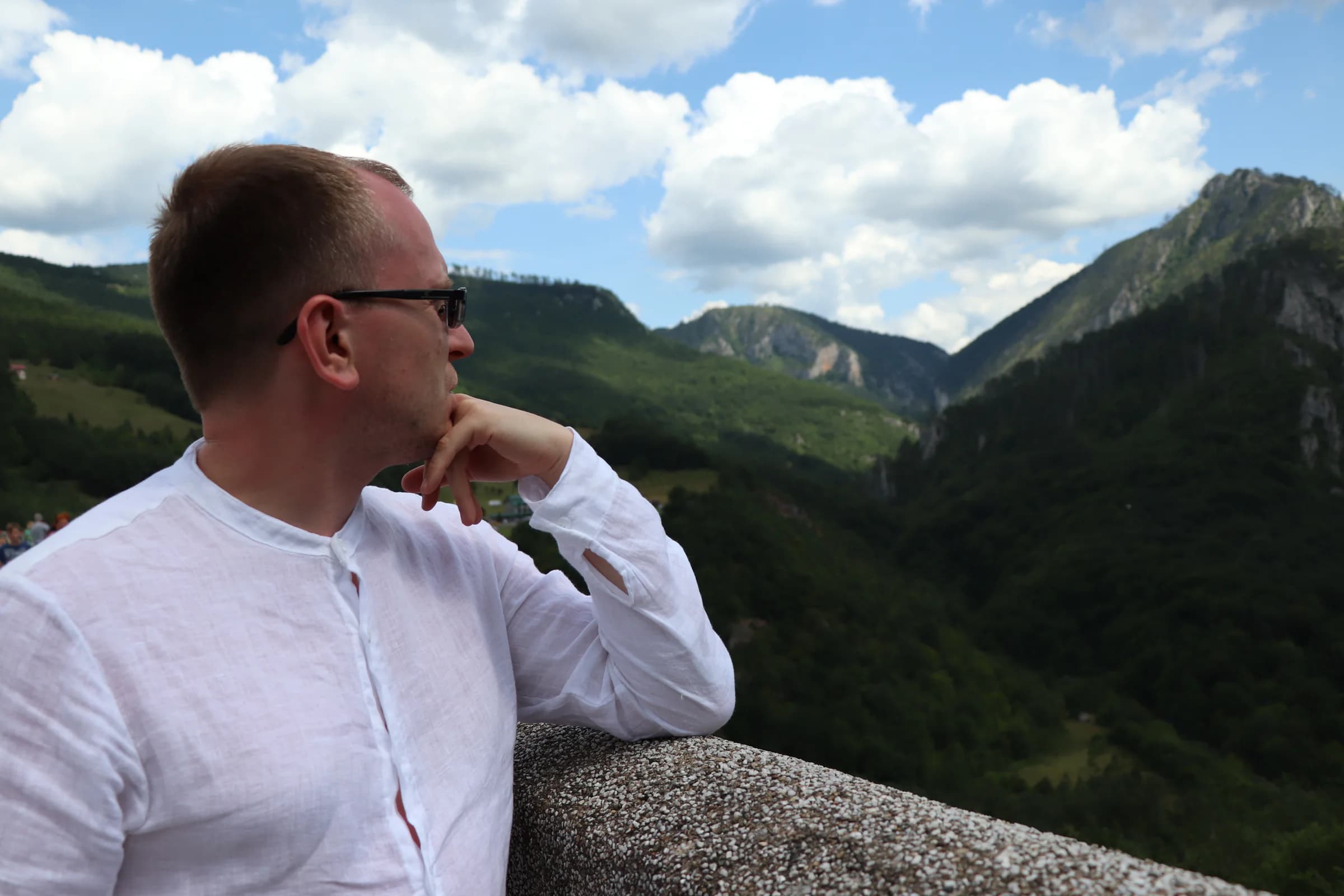
This way of looking at the world does not disappear outside work. I am interested in cities, natural landscapes, history, roads, architecture, photography, and travel — less as a list of places to mark on a map than as an opportunity to pause and ask why a city grew here, what a landscape looked like before, how people adapted a place to their needs, and what from the past continues to shape it today.
This journal grew from that habit. Travel and technology, geography and digital products, photographs and long-form writing can all sit side by side here. The subjects may seem quite different at first. To me, they share one practice: looking beyond the first impression and trying to understand how things are put together.
Perhaps this is why I still find myself somewhere between map and code.
And I think I am quite comfortable there.